
Willowstick uses MSR and Gamma Scintillation as complementary, indirect datasets for well-target ranking before a rig is mobilized. For agricultural, municipal, and industrial supply, the interpretation narrows the search area; drilling, aquifer testing, and water-quality analysis remain the tests of a successful well.
Application · Groundwater Supply
Well Siting
Rank drilling targets with more evidence before mobilizing the rig.
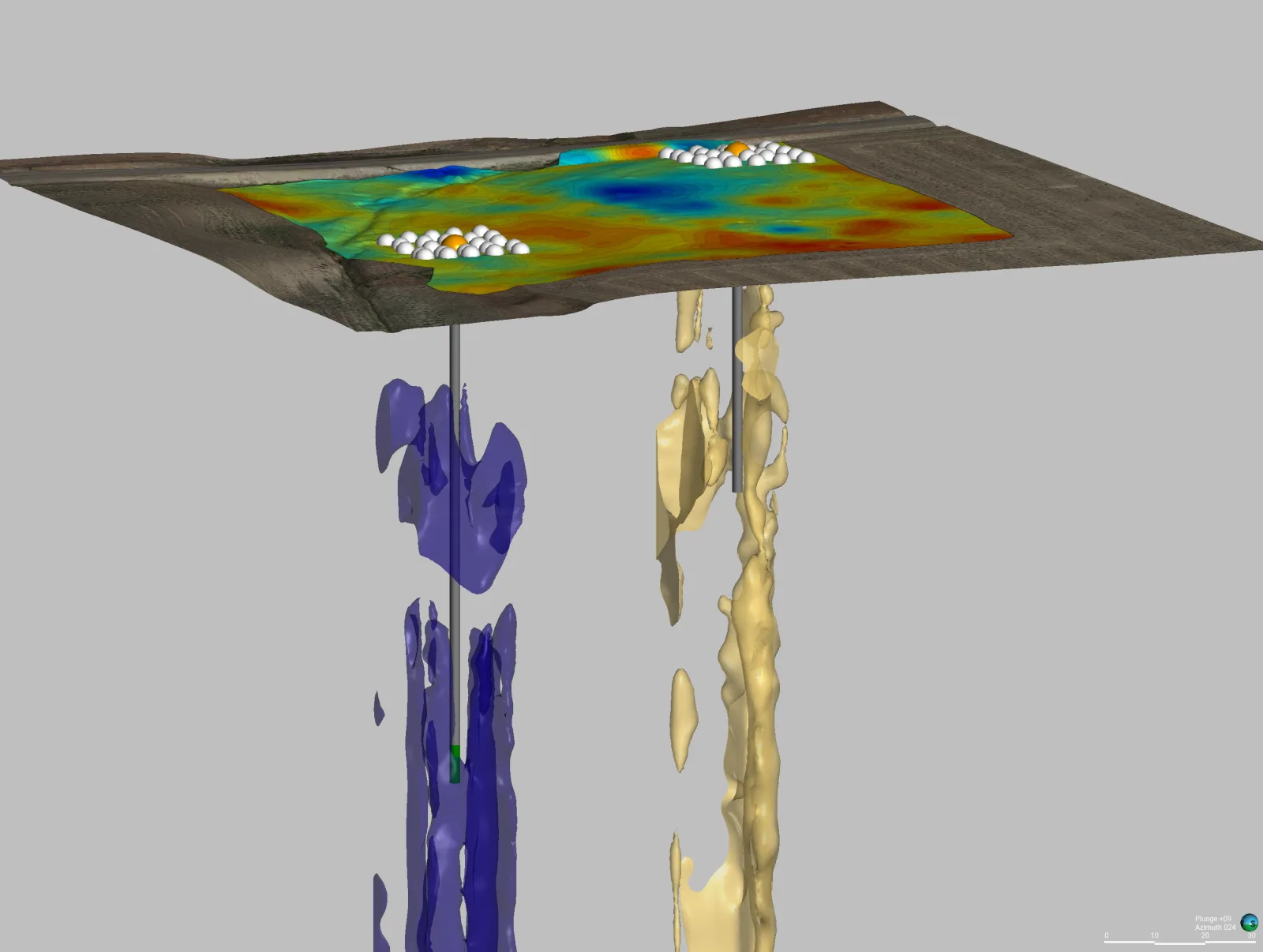
The Problem
A dry borehole is the most expensive kind.
Regional geology and nearby well records provide the starting framework, but fractured or heterogeneous aquifers can vary over short distances. Surface geophysics can improve target ranking; only drilling and testing confirm the presence, quality, and sustainable yield of groundwater.
Pre-drill Target identification
Ranked Drilling targets
Coordinates Delivered for drilling
How Willowstick Maps It
The method, applied to well siting.
01
Match the method to the task: Microseismic Resonance (MSR) is used to characterize resonance anomalies and discontinuities, while Gamma Scintillation records spatial changes in near-surface natural radiation. Both are indirect measurements.
02
Collect georeferenced surface data: repeated measurements are processed into anomaly maps that may indicate fluid-conducive zones or changes in near-surface material. Neither method directly measures aquifer yield or water quality.
03
Integrate the evidence: results are combined with geology, geomorphology, nearby well records, remote sensing, and other available hydrogeologic data to rank drilling targets.
04
Deliver ranked targets: the output is a prioritized set of coordinates, interpreted depth ranges where supported, assumptions, and limitations for drill planning and confirmation.
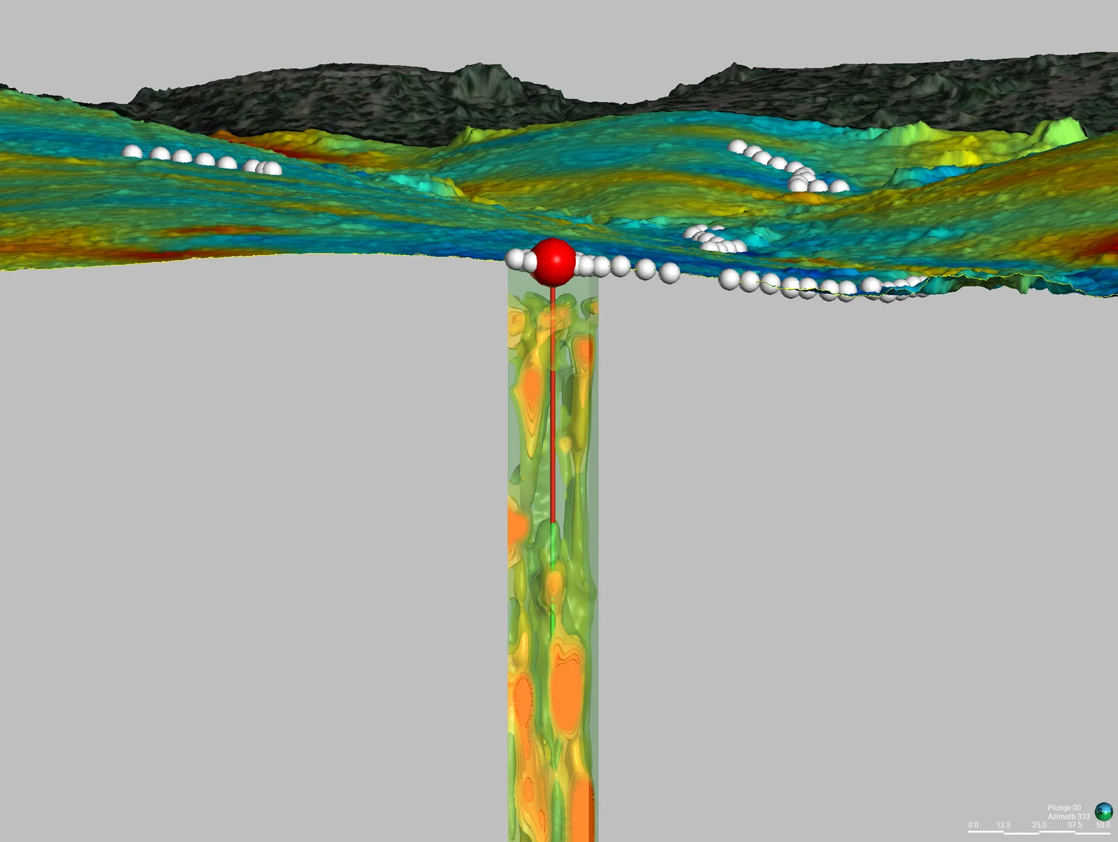
Start Here
See what’s moving beneath your well siting.
Field acquisition is often completed in days and interpretation in weeks. Timing, depth of investigation, and deliverables are scoped to the site, method mix, and decision.