Geophysical subsurface characterization · Since 2004
Subsurface Intelligence
Willowstick deploys MM-ECD (the Willowstick Method), Microseismic Resonance (MSR), and Gamma Scintillation with NMR, LiDAR, photogrammetry, and remote sensing to characterize complex subsurface conditions.
Who We Help
Every sector. The same question: What's happening in the subsurface?
Select your world: see how the survey applies.
Characterize seepage pathways and investigate internal-erosion risk.
Add spatial geophysical coverage to boreholes, piezometers, inspections, and site history so preferential conductive pathways can be evaluated before they become obvious at the surface.
Explore dam safety →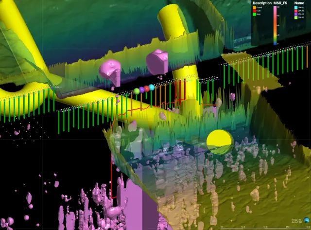
Reviewable subsurface evidence for planning and funding decisions.
Repeatable surveys with documented processing, assumptions, and limitations help prioritize capital work and track interpreted conditions over time.
Explore municipal →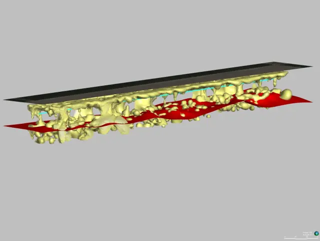
Peer-grade investigation that sharpens your remediation design.
A georeferenced 2D and 3D interpretation that helps prioritize pathway targets before specifying direct investigation or remediation.
Explore for consultants →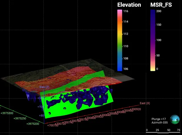
Characterize process-water and seepage pathways across mine facilities.
At tailings facilities, heap-leach pads, and process ponds, surface geophysics can help guide targeted drilling, monitoring, and containment work.
Explore mining & tailings →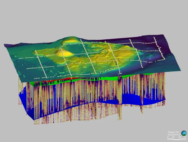
The MM-ECD Method
Groundwater reveals its own pathways, when you know how to ask.
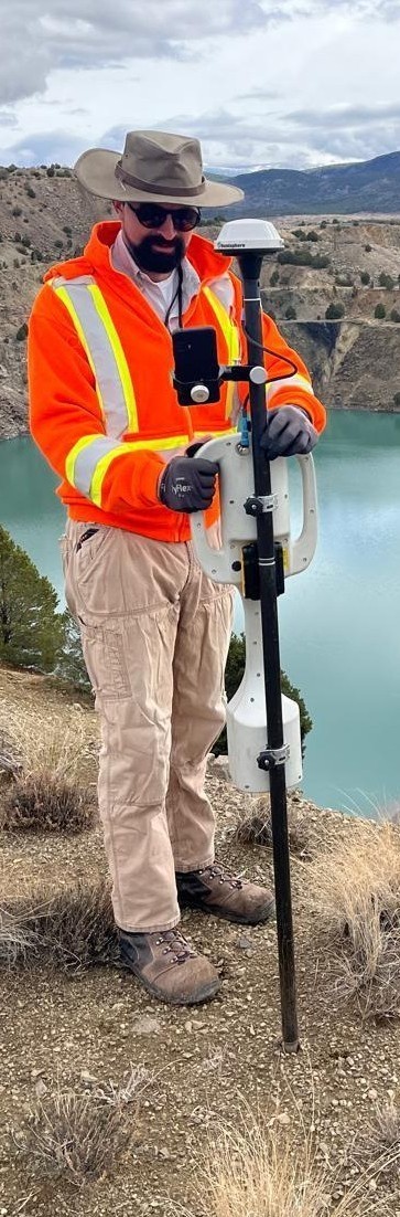
Willowstick establishes a low-power electrical circuit through the area of interest. Conductive subsurface zones can concentrate more of that current, which produces a magnetic field measured on a surface grid. Processing and hydrogeologic interpretation turn those measurements into 2D and 3D models of preferential conductive pathways that may carry groundwater or seepage.
Establish a controlled electrical circuit through the target area.
Measure the resulting magnetic field on a surface grid.
Model the electrical-current distribution in 2D and 3D.
Interpret preferential pathways with the site’s hydrogeologic data.
Our Methods
Three core methods. One question answered.
Willowstick fields three complementary, surface-based geophysical methods, matched to the question beneath the surface.
MM-ECD
Magnetometric Electrical Current Distribution
Willowstick’s patented electromagnetic method injects a signature alternating current through an area of interest and measures the resulting magnetic field at the surface. The data are modeled and interpreted to delineate preferential conductive connections associated with seepage and groundwater pathways.
MSR
Microseismic Resonance
A proprietary passive geophysical method that records naturally occurring ground vibrations. Processed resonance anomalies help characterize subsurface discontinuities and zones that may be conducive to fluid storage or transfer.
Gamma Scintillation
Gamma
A radiometric method that measures spatial variations in naturally occurring gamma radiation near the ground surface. Relative count anomalies provide an indirect, complementary dataset for lithologic context and groundwater or well-siting investigations.
No single geophysical method resolves every subsurface question. We combine independent measurements with site geology, hydrology, and direct observations where available, then state the assumptions and limits of the interpretation.
Compare the methods →Proven Worldwide
Six continents. Twenty years. One question, answered.
From the Rocky Mountains to Australia, from the U.S. Army Corps of Engineers to national governments, Willowstick has mapped subsurface water across more than 1,000 projects on six continents.
See the case studies →
Institutional Authority
Willowstick is a Guardian Resources company, two decades of subsurface expertise behind every survey, and the institutional credibility to stand behind the data.
Applications
Wherever water is the problem.
Dams
Investigate seepage pathways and internal-erosion risk before problems escalate.
Explore →Reservoirs
Prioritize where a reservoir may be losing water and the pathways involved.
Explore →Canals
Prioritize seepage reaches along miles of canal without relying on point data alone.
Explore →Mining
Add spatial context to water movement across your site or operation.
Explore →Tailings
Add spatial geophysical coverage to high-consequence tailings-water questions.
Explore →Environmental
Constrain potential groundwater transport pathways before committing to a remediation design.
Explore →Well Siting
Rank drilling targets with more evidence before mobilizing the rig.
Explore →Geothermal
Add spatial evidence to geothermal structure and fluid-target interpretation.
Explore →Civil Infrastructure
Protect critical infrastructure from the water working against it.
Explore →Tunnels
Prioritize potential inflow pathways into tunnels and underground works.
Explore →Pipelines
Prioritize suspected leak zones before trenching a long pipeline route.
Explore →Rare Earth Minerals
Integrated geophysics for mineral targets, water risk, and site monitoring.
Explore →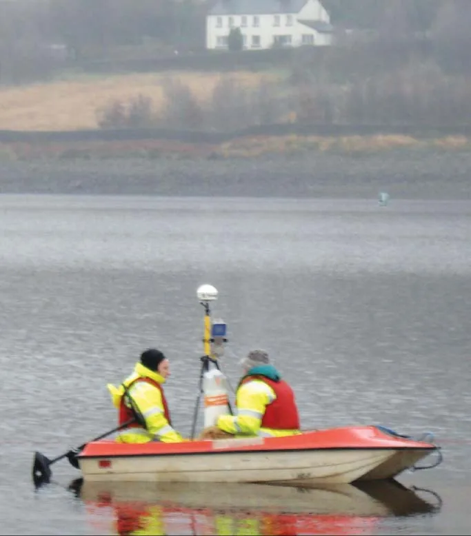
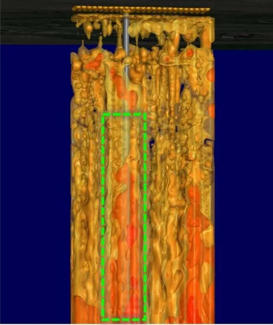
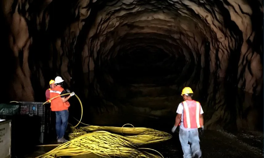
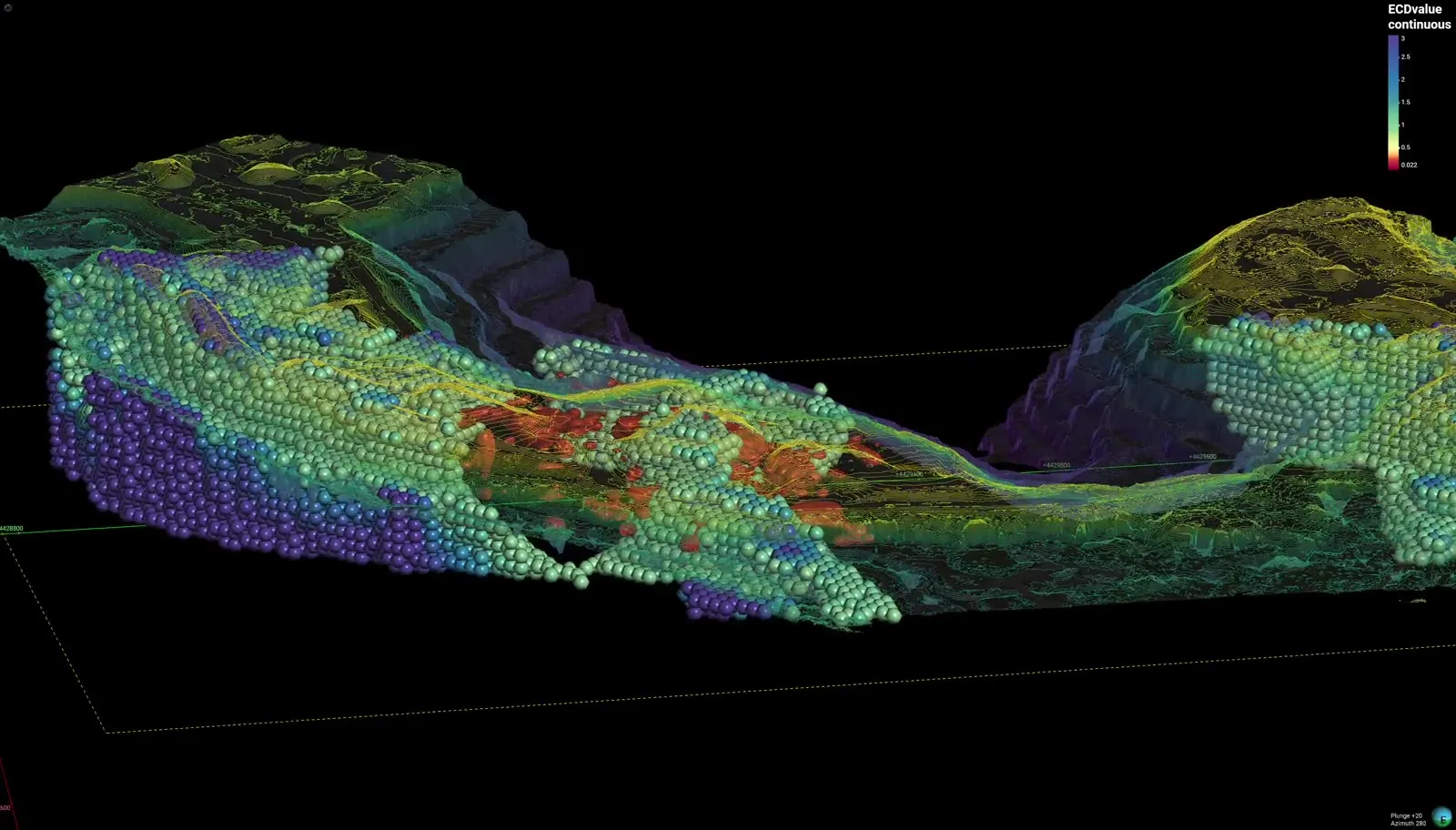
Real Willowstick fieldwork and survey output, drawn from published investigations.
Start Here
Stop guessing where the water goes.
Bring us a structure or a site. We’ll design a survey around the decision you need to make and deliver georeferenced interpretations that can guide targeted investigation, monitoring, or remediation.
“What I'm able to give my client is complete clarity about the problem and a way of remediating it.”
Dr. Andy Hughes, 40-year dam engineer · ICOLD