
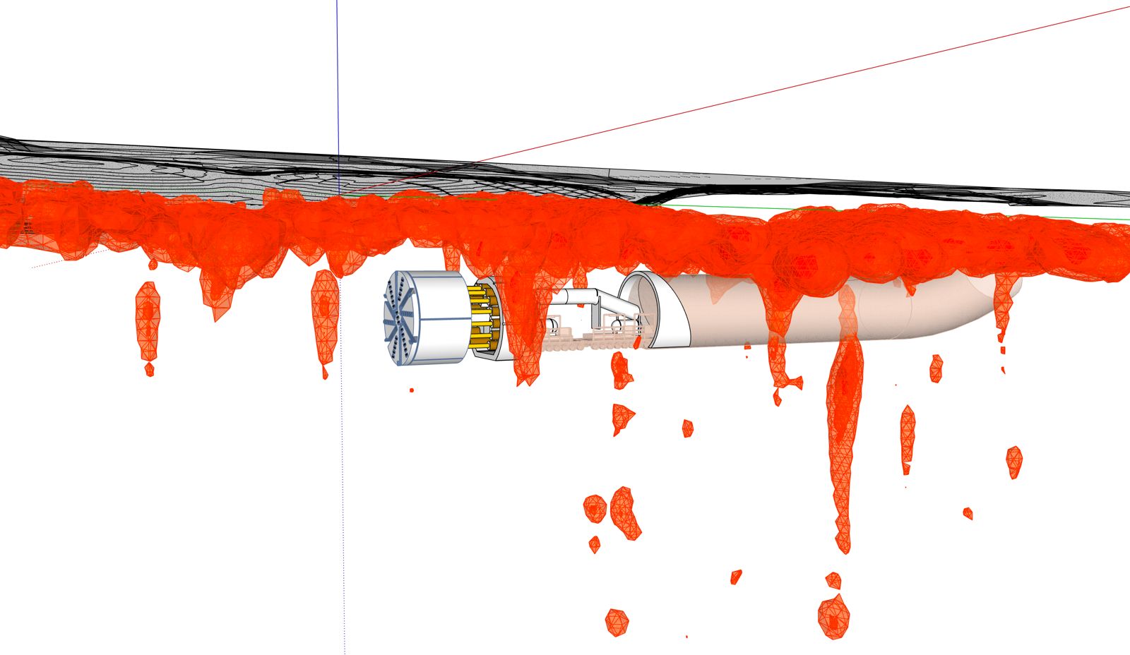
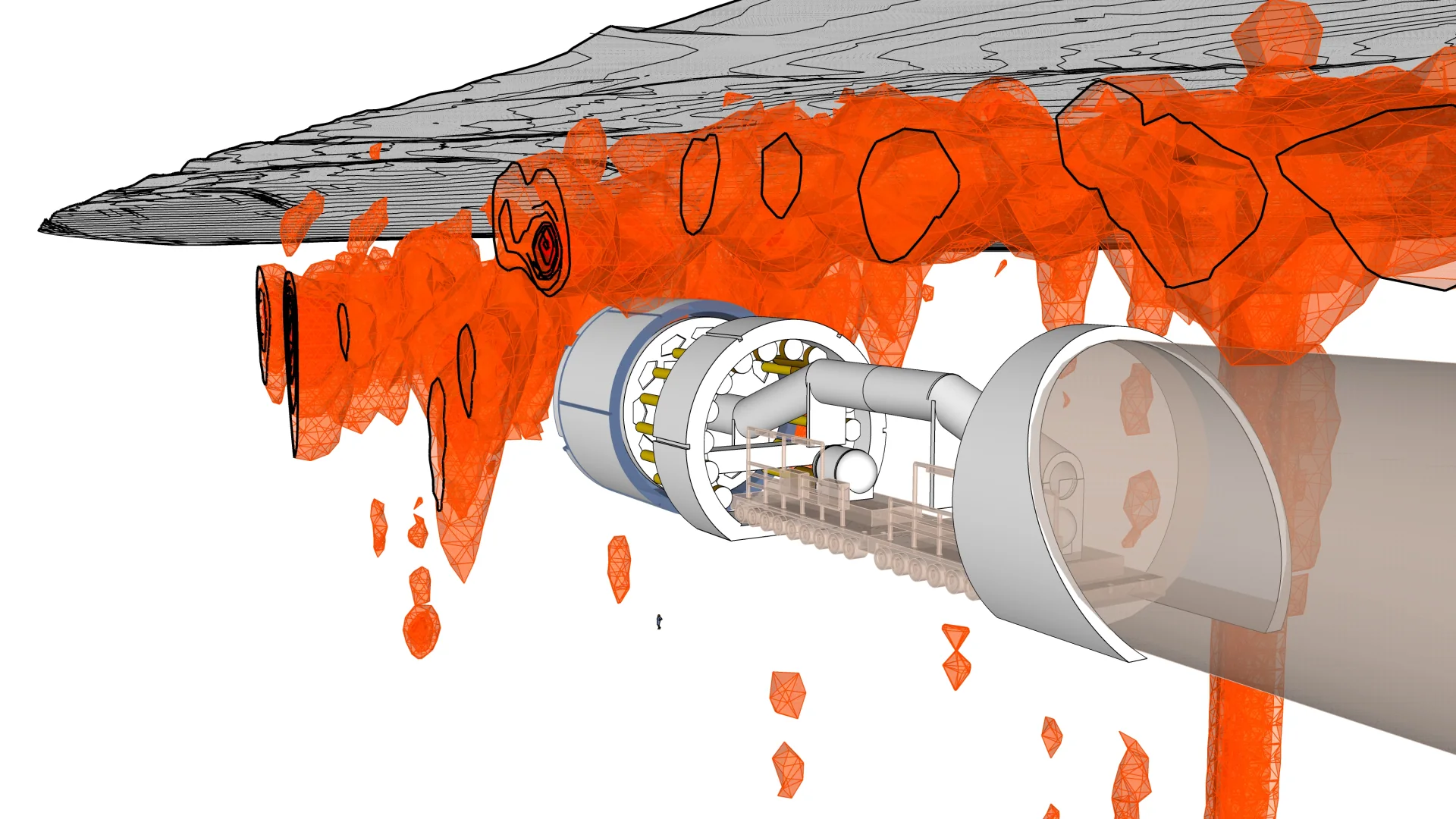
Willowstick helps characterize groundwater pathways that may feed inflow to tunnels and underground excavations. Integrated with geology, face mapping, probe drilling, and inflow records, the interpretation can help contractors and designers prioritize grouting and water-control work.
Application · Tunnels
Tunnels
Prioritize potential inflow pathways into tunnels and underground works.
The Problem
Inflow is a schedule and safety problem.
Unanticipated groundwater inflow into a tunnel or shaft stops work, threatens crews, and blows budgets on reactive grouting. Knowing where the water connects before or during construction changes the economics entirely.
Inflow Pathway location
Grouting Targeted, not blanket
Surface-based Where access permits
How Willowstick Maps It
The method, applied to tunnels.
01
Establish a controlled circuit: where MM-ECD is appropriate, electrodes are positioned so a signature alternating current passes through the area around the alignment. Its distribution responds to saturation, water chemistry, clay and mineral content, geology, and other conductivity controls.
02
Measure the response: the Willowstick instrument records the resulting three-axis magnetic field at georeferenced stations on a surface grid. Other methods can be added where access or survey geometry calls for them.
03
Model and interpret: measured data are normalized against a homogeneous-earth reference and processed into electrical-current models. Geology, excavation records, inflow observations, and pressure data guide interpretation.
04
Deliver prioritized zones: the report presents mapped anomalies, interpreted inflow-pathway targets, model-derived depth ranges where supported, and limitations for targeted grouting or investigation.
Proof
Relevant case studies
Start Here
See what’s moving beneath your tunnels.
Field acquisition is often completed in days and interpretation in weeks. Timing, depth of investigation, and deliverables are scoped to the site, method mix, and decision.