
Willowstick adds spatial coverage to point instrumentation across a tailings storage facility. Repeat surveys can compare the geophysical response over time, while piezometers, inspections, material testing, and engineering analysis remain essential for evaluating phreatic conditions and facility safety.
Application · Tailings Integrity
Tailings
Add spatial geophysical coverage to high-consequence tailings-water questions.
The Problem
Tailings dams fail because of water.
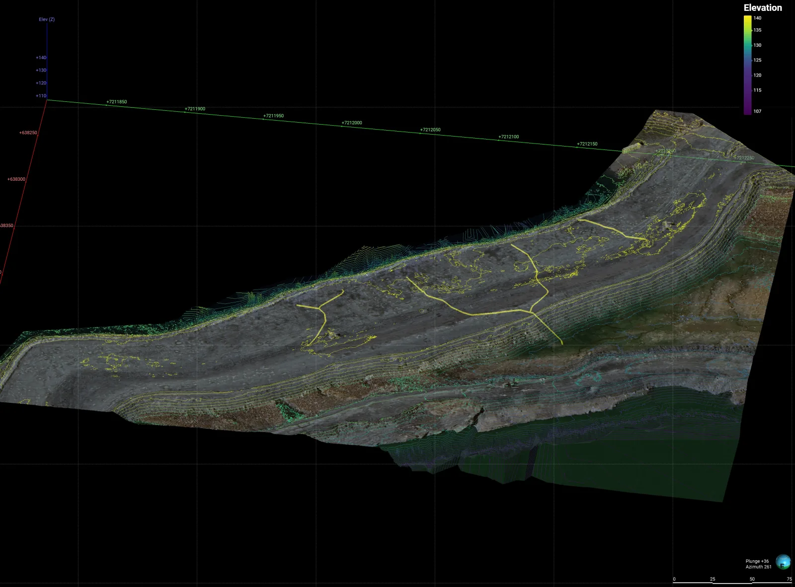
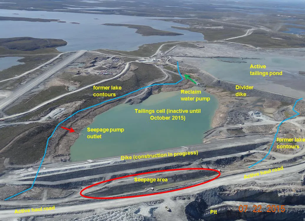
Tailings-storage performance depends on interacting factors that include pore-water pressure, drainage, material behavior, construction, and operations. Piezometers and other instruments provide essential direct measurements at their locations. Spatial geophysics can add coverage between instruments and help test the conceptual seepage model.
Seepage Pathway characterization
Whole-facility Coverage, not points
Repeatable Baseline for monitoring
How Willowstick Maps It
The method, applied to tailings.
01
Establish a controlled circuit: electrodes are positioned so a signature alternating current passes through the zone of interest. Its distribution responds to saturation, pore-water chemistry, tailings composition, geology, and other controls on bulk conductivity.
02
Measure the response: the Willowstick instrument records the resulting three-axis magnetic field at georeferenced stations on a surface grid. Data collection is planned around facility access and safety requirements.
03
Model and interpret: measured data are normalized against a homogeneous-earth reference and processed into 2D and 3D electrical-current models. Facility geometry, deposition history, piezometers, and hydrogeology guide the seepage interpretation.
04
Deliver reviewable targets: the report presents mapped anomalies, interpreted pathway targets, model-derived depth ranges where supported, and limitations for follow-up by the engineer of record.
Proof
Relevant case studies
Start Here
See what’s moving beneath your tailings.
Field acquisition is often completed in days and interpretation in weeks. Timing, depth of investigation, and deliverables are scoped to the site, method mix, and decision.