
Willowstick works with Minerals Canada to integrate 3-component borehole and surface EM, MM-ECD, Microseismic Resonance, Gamma Scintillation, LiDAR, photogrammetry, and satellite remote sensing. Together, these datasets constrain conductive targets and geologic structure, improve groundwater and seepage interpretations, provide terrain and orthomosaic products, and support method-appropriate monitoring of deposition, displacement, vegetation, and other surface change.
Application · Critical Minerals
Rare Earth Minerals
Integrated geophysics for mineral targets, water risk, and site monitoring.
The Problem
Critical-minerals projects need one integrated subsurface interpretation.
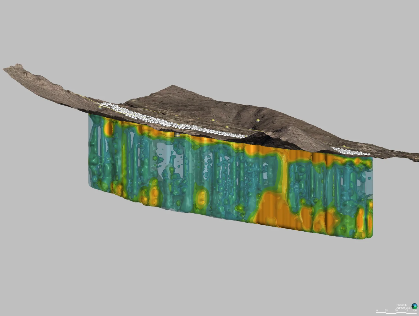
Mineral targeting, geologic structure, groundwater movement, tailings performance, and changing surface conditions are often evaluated in separate datasets. Integrating those observations gives exploration and operations teams clearer context for decisions, water management, and monitoring.
3-component Borehole & surface EM
Integrated 3D site context
Repeatable Change monitoring
How Willowstick Maps It
The method, applied to rare earth minerals.
01
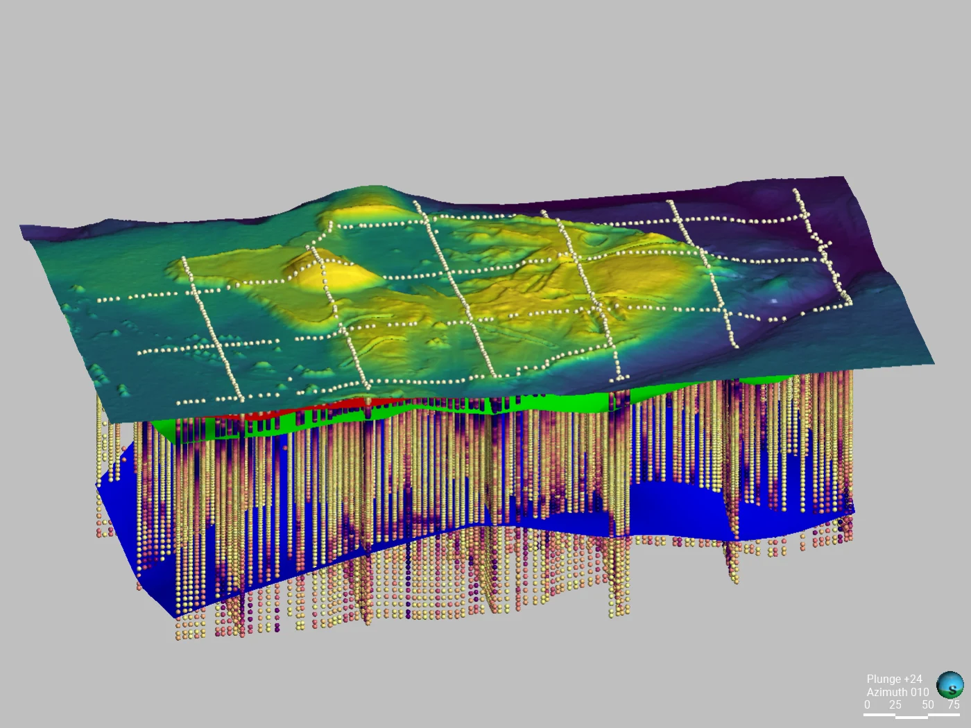
Map conductive responses: Minerals Canada deploys three-component (triaxial) electromagnetic surveys in boreholes and at the surface to characterize conductive targets and geologic structure in three dimensions.
02
Characterize groundwater conditions: Willowstick applies MM-ECD, Microseismic Resonance, and Gamma Scintillation as appropriate to constrain preferential conductive pathways, discontinuities, and radiometric anomalies.
03
Build accurate surface context: LiDAR and photogrammetry produce terrain, orthomosaic, point-cloud, and 3D surface products that georeference field observations and document site conditions.
04
Monitor change over time: multispectral imagery can track reflectance-based indicators such as vegetation or moisture response. InSAR or repeat elevation data are used when the question is ground displacement such as subsidence.
Proof
Relevant case studies
Start Here
Integrate the data beneath your critical-minerals project.
Tell us which exploration, groundwater, terrain, or monitoring questions the project needs to resolve. We’ll match the survey program to the decision.