
Water is the through-line of many Willowstick projects. MM-ECD measures the magnetic field produced by a designed subsurface current circuit, then models the electrical-current distribution. MSR can add information about discontinuities and fluid-conducive zones, while Gamma Scintillation contributes near-surface radiometric anomalies. These indirect geophysical datasets are interpreted with geology, hydrology, instrumentation, and direct observations to improve the conceptual site model. Explore the specific applications, or talk to us about a problem that does not fit a category.
The Core Capability
Water
Everything we do is groundwater flow-path characterization. These are the methods behind all of it.
The Problem
Every water project needs a defensible conceptual model.
Whether it’s a dam, a mine, a contaminated site, or a well field, the central question is often similar: where might water be moving in the subsurface, and what evidence supports that interpretation? Direct observations and geophysics answer different parts of that question.
6 Continents
2004 Mapping water since
2D + 3D Flow-path models
How Willowstick Maps It
The method, applied to water.
01
Establish a controlled circuit: electrodes are positioned so a signature alternating current passes through the area of interest. Its distribution responds to saturation, pore-water chemistry, clay and mineral content, geology, and other controls on bulk conductivity.
02
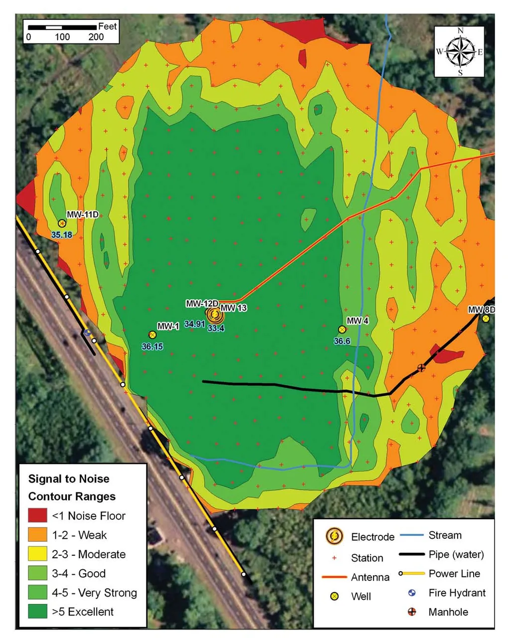
Measure the response: the Willowstick instrument records the resulting three-axis magnetic field at georeferenced stations on a surface grid. The magnetic survey itself does not require exploratory drilling.
03
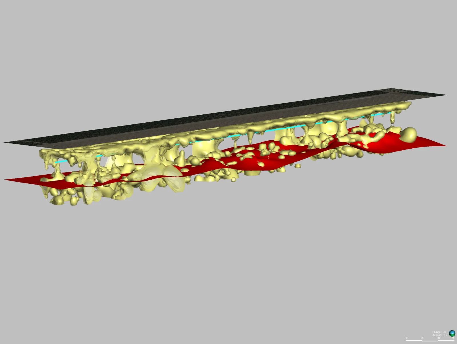
Model and interpret: measured data are normalized against a homogeneous-earth reference and processed into 2D and 3D electrical-current models. Site geology, hydrology, and direct observations guide interpretation of preferential conductive connections.
04
Deliver reviewable targets: the report presents mapped anomalies, interpreted pathway targets, model-derived depth ranges where supported, and assumptions and limitations for the next decision.
Proof
Relevant case studies
Start Here
See what’s moving beneath your water.
Field acquisition is often completed in days and interpretation in weeks. Timing, depth of investigation, and deliverables are scoped to the site, method mix, and decision.