
Willowstick has investigated seepage at earthen dams across six continents, including projects for the U.S. Army Corps of Engineers. Where operations and safety requirements permit, acquisition can be performed with the reservoir at operating level so the response reflects in-service conditions. Deliverables document the measurements, models, interpreted pathways, assumptions, and limitations for integration with instrumentation, drilling, and engineering assessment.
Application · Dam Safety
Dams
Investigate seepage pathways and internal-erosion risk before problems escalate.
The Problem
Seepage is invisible until it isn’t.
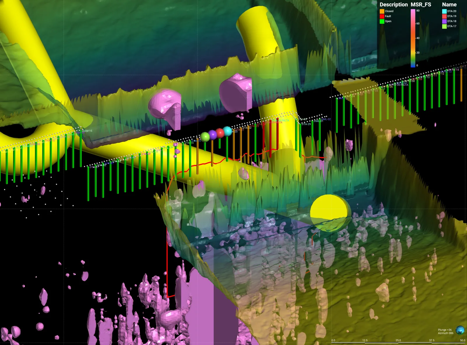
Internal erosion is an important failure mechanism for embankment dams, and a sinkhole, boil, or wet spot may be a late surface expression of a developing seepage problem. Boreholes, piezometers, inspections, and samples provide essential local evidence, but a narrow pathway can pass between instruments. Spatial geophysics adds coverage between those points.
Surface grid Magnetic-field measurements
Site-specific Depth of interpretation
Days Not months in the field
How Willowstick Maps It
The method, applied to dams.
01
Establish a controlled circuit: electrodes are positioned so a signature alternating current passes through the dam or foundation zone of interest. Its distribution responds to saturation, pore-water chemistry, clay and mineral content, geology, and other controls on bulk conductivity.
02
Measure the response: the Willowstick instrument records the resulting three-axis magnetic field at georeferenced stations on a surface grid. The magnetic survey itself does not require exploratory drilling through the dam.
03
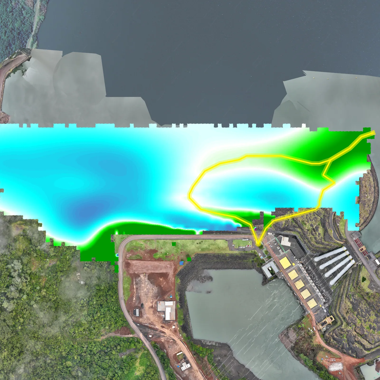
Model and interpret: measured data are normalized against a homogeneous-earth reference and processed into 2D and 3D electrical-current models. Dam geometry, geology, instrumentation, and hydrology guide interpretation of preferential conductive connections that may carry seepage.
04
Deliver reviewable targets: the report presents mapped anomalies, interpreted pathway targets, model-derived depth ranges where supported, and the assumptions and limits needed to plan follow-up or remediation.
Proof
Relevant case studies
Start Here
See what’s moving beneath your dams.
Field acquisition is often completed in days and interpretation in weeks. Timing, depth of investigation, and deliverables are scoped to the site, method mix, and decision.