
Willowstick has investigated solution loss at leach pads, conductive connections around grout curtains, and groundwater pathways associated with acid mine drainage. The resulting interpretations help operators prioritize confirmatory work, evaluate containment concepts, and design targeted water controls.
Application · Mining
Mining
Add spatial context to water movement across your site or operation.
The Problem
Lost solution and uncontrolled water are both expensive.
A leaking leach pad or process pond means lost recovery and a compliance exposure at the same time. Around legacy workings, uncontrolled groundwater drives acid mine drainage and long-tail liability. In both cases the water is moving along paths you can’t see from the surface.
Liner Leak localization
Grout-wall Conductive connections assessed
AMD Source pathways interpreted
How Willowstick Maps It
The method, applied to mining.
01
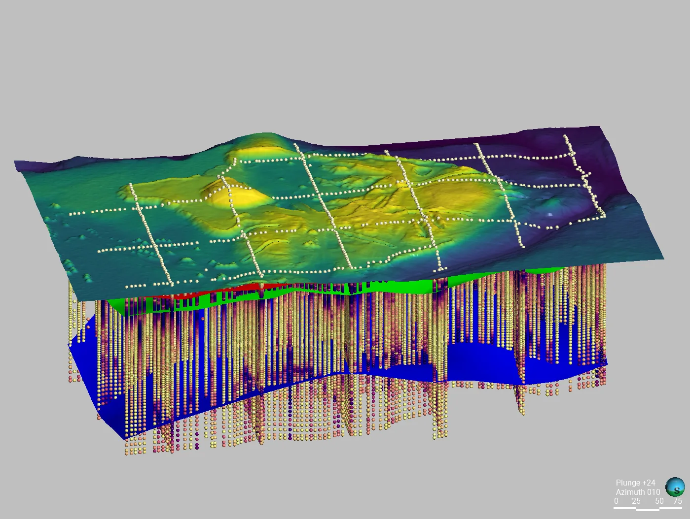
Establish a controlled circuit: electrodes are positioned so a signature alternating current passes through the area of interest. Its distribution responds to saturation, pore-water chemistry, clay and mineral content, geology, and other controls on bulk conductivity.
02
Measure the response: the Willowstick instrument records the resulting three-axis magnetic field at georeferenced stations on a surface grid. The magnetic survey itself does not require exploratory drilling.
03
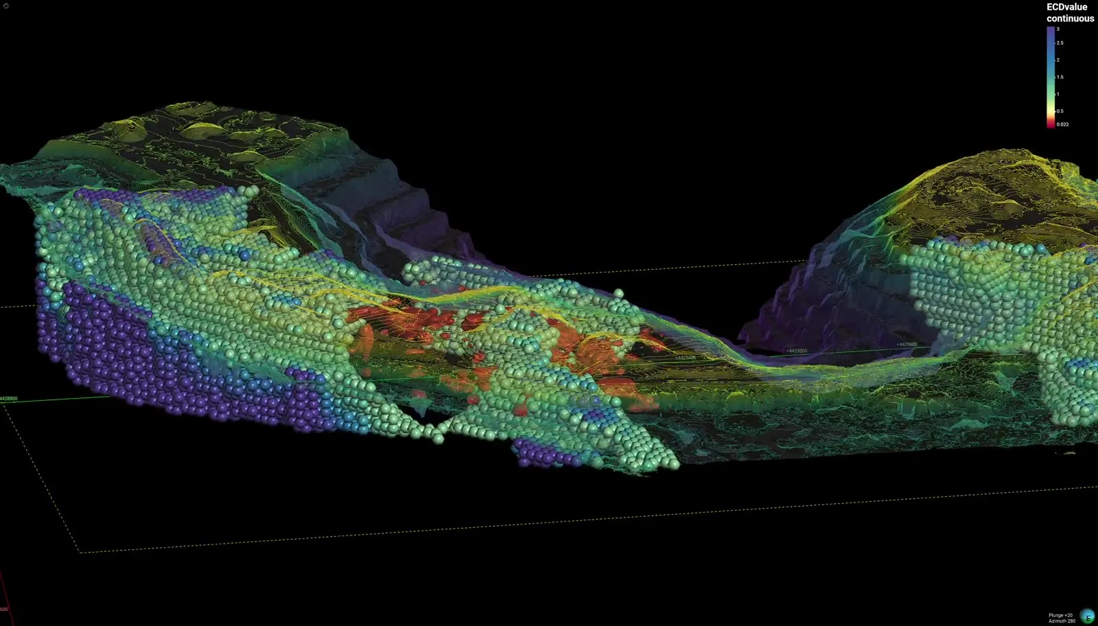
Model and interpret: measured data are normalized against a homogeneous-earth reference and processed into 2D and 3D electrical-current models. Mine geometry, hydrogeology, chemistry, and monitoring data guide interpretation of preferential conductive connections.
04
Deliver reviewable targets: the report presents mapped anomalies, interpreted pathway targets, model-derived depth ranges where supported, and limitations for targeted investigation or water-control work.
Proof
Relevant case studies
Start Here
See what’s moving beneath your mining.
Field acquisition is often completed in days and interpretation in weeks. Timing, depth of investigation, and deliverables are scoped to the site, method mix, and decision.